Severe Storms Trigger Tornado Warnings Across Manitoba
Just after 3:30 p.m. on Tuesday, phones across southern Manitoba began to blare. The first warning was for farmland east of Morris, where spotters had watched a funnel dip from the clouds and touch down. Within minutes, the alert zone stretched north to Winnipeg and beyond. It was the kind of afternoon meteorologists had been quietly dreading all week.
The storms had everything they needed. A deep trough over the Rockies, a jet stream aimed squarely at the Red River Valley, a surface low that had spun up over Montana and was now dragging a mess of Gulf moisture north. Ample atmospheric energy (what forecasters call CAPE) and steep temperature lapse rates gave the convection an extra kick. The result: supercells that dropped hail the size of golf balls. Wind gusts over 100 km/h. And a rain rate that overwhelmed city drains before anyone had time to react. Manitoba Hydro’s outage map lit up too, especially south Winnipeg, Steinbach, and Springfield. Some of those outages, the utility warned, would stretch into Wednesday.
Tornadoes Touch Down in Southern Manitoba
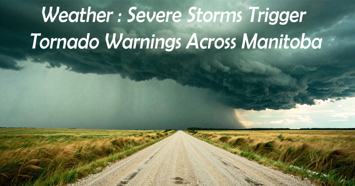
By the end of the evening, Environment Canada had confirmed two ground touchdowns. One near Dufrost, about 60 kilometres south of the city. Another by Ste. Anne, 45 kilometres southeast. Photos from residents showed wall clouds and funnels, the kind of structured lowering that makes even seasoned chasers pull over and just stare. Braydon Morisseau captured that shelf cloud near Ste. Anne that circulated everywhere — a grey-green slab with a rotation underneath that a storm chaser described as visible for kilometres. There were also reports of funnel clouds near Shoal Lake and out in the Parklands region.
The damage on the ground was uneven. Northeast of Oakburn, a farmstead lost its shelterbelt, the trees flattened in one direction like a comb had been pulled through them. Grain bins were tossed across a field. No injuries, though. That’s a statistic that surprises no one on the Prairies because the population density is so low it’s almost a built-in safety net. Almost. The RCMP stood ready, while the province’s Emergency Measures Organization activated regional coordination centres just in case.

Winnipeg Faces Flash Flooding, Power Outages
In Winnipeg, the hook echo on radar slid just south of the city while another supercell tracked northeast. The rain came in sheets. The city’s 311 line logged more than 200 reports of street flooding and backed-up catch basins in two hours. Underpasses closed. Pembina Highway turned into a shallow river, cars stalled with water up to the door handles. Public works sent out vacuum trucks to Fort Garry and St. Vital, but the system was overwhelmed. It’s an old combined sewer network, and a thunderstorm like this one will always beat it.
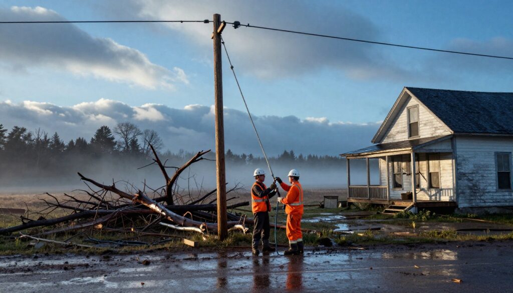
Manitoba Hydro’s peak outages hit about 15,000 customers. By 9 p.m., that was down to roughly 5,000, but rural repairs were slow going. A line of poles snapped along a gravel road in Hanover would take most of the next day. Winnipeg Transit rerouted buses around flooded intersections, and the airport held flights on the ground for a stretch. Then, almost as abruptly as it started, the rain stopped.
Saskatchewan Hit by an EF-3 Tornado
Across the border, it was worse. Near Oxbow, Saskatchewan, east of Estevan, a tornado with preliminary EF-3 intensity struck a farmstead directly. The Northern Tornadoes Project at Western University is still surveying, but the damage suggests winds of 220 to 266 km/h — Canada’s strongest since 2023. A house was destroyed. Outbuildings shattered. Debris hurled hundreds of metres. Still, remarkably, nobody was hurt. The same surface low that triggered the Manitoba storms was responsible, and the atmospheric setup was identical: a plume of unstable air, shear aplenty, and a trigger. The province had tornado watches up for hours before the first cells fired.
Prairie residents talk about tornadoes the way coastal people talk about hurricanes. Familiar, yes. But this one was different because it hit a structure. The capriciousness of these events — one farm obliterated, the next untouched — is what stays with you.
The Morning After, with More Storms Possible
By Wednesday morning, the cleanup was noisy and steady. Manitoba Hydro had extra crews on the gravel roads of Hanover, La Broquerie, and Ste. Anne, replacing poles and untangling lines. The province’s Infrastructure department was grading roads rutted by floodwater. Manitoba Agricultural Services Corporation fielded hail claims from Oakburn, and grain farmers near Morris and Dufrost walked their fields to see what the straight-line winds had done to canola and wheat. Too early to know the full loss.
The immediate severe threat had passed, but meteorologists were already looking at another system that could develop over the Northern Plains before the weekend. The same ingredients — a trough pushing east, low-level moisture pooling — might come together again by Friday. That’s the thing about these patterns: they don’t just switch off. And this one left the soil so saturated that even a moderate rain could trigger more flooding.
Before it all faded, phones across the province had filled with photos and video: a rotating wall cloud near Ste. Anne, a rain-wrapped funnel, the eerie green light that hangs over a storm that means business. The alert system had done its job, blaring warnings in time for people to take cover. But the northern tornado data from Tuesday will also be studied, folded into research aimed at squeezing an extra minute or two out of detection lead times. On the Prairies, where the next farm is often a mile away, those minutes are everything.